Making a Useful SatNav
/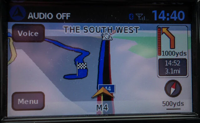
I’ve been moaning about SatNav software for years. It is getting better though. My latest car displays a map that contains 3D renderings of the car parks I’m failing to find a way into. Very useful. Of course it also has a habit of getting the lane guidance wrong, which makes for amusing antics at roundabouts every now and then, but I guess nothing is perfect.
One thing that struck me as I was threading my way through the rain-soaked streets in Reading tonight was how the navigation software proudly displays the names of the streets I’m supposed to turn into. I think this is a bit of a waste of time. Only a local would actually know the street names, and they probably wouldn’t need to use a SatNav. And as for using the street names to confirm your navigation, that’s a bit of a non starter bearing in mind how hard these things are to find and read. What I really wanted was useful directions like “Turn left in front of the pub” or better yet “Follow that blue Prius”.
Actually, having thought about it, “Follow that blue Prius” is just about doable. I sat in a Tesla that could discern the vehicles in the traffic around me and finding their make and colour wouldn’t be too tricky. Link that up to the SatNav and off you go. Hmmm. Perhaps I should patent this.
Then again, once we have cars which are that clever I guess we might just get them to do all the driving and navigation themselves.